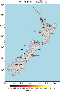
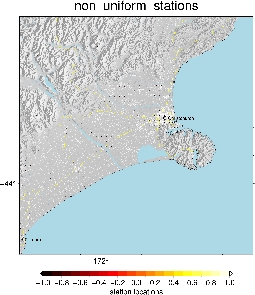
Major changes:
- Made the minimum spacing actually what was specified rather than multiplying it by 5 - the minimum spacing then becomes 0.5km between points.
- Using vs30 delta (change in vs30 over the area) as a scoring criteria
- Fixing the bug that meant vs30 scored 100% all of the time
- The only version generated was the on-land version - gmt select -F/nesi/projects/nesi00213/PlottingData/Paths/lds-nz-coastlines-and-islands/150k.gmt input > output
- Note make sure the first station name is ascii so it doesn't replace anything unnecessarily
...


